Tag: maps and more
Event: Maps & More: Post-War SF in Aerial Photographs, with Dave Ruiz
Friday, February 22, 11am – 1pm
Earth Sciences & Map Library, 50 McCone Hall
This exhibit highlights three air photo sets recently purchased by the UC Berkeley Library that cover San Francisco in the critical post-war years through 1958. Flown by Pacific Aerial Surveys, these large-scale images capture detailed snapshots of the rapidly developing city. We’ll be joined by special guest Dave Ruiz, Imagery Analyst & Data Archivist at Quantum Spatial’s Novato office, to learn about how these air photos were produced.
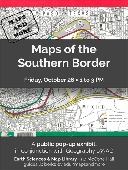
Maps of the Southern Border Pop-Up Exhibit

Please join us next Friday for a public pop-up exhibit featuring maps of the US/Mexico border:
Maps of the Southern Border
Friday, October 26 | 1 – 3 PM
50 McCone Hall
Presented in conjunction with Geography 159AC: The Southern Border.
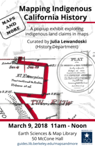
Event: Maps and More: Mapping Indigenous California History

Friday, March 9 | 11 AM – Noon
Earth Sciences & Map Library
50 McCone Hall
Guest curated by Julia Lewandoski, History Department graduate student
This event explores just one chapter in California’s complex and on-going indigenous history, by featuring maps of Native American land claims made in the 1850s. After the 1830s secularization of the Spanish Franciscan missions where many Native Californians were forced to live and labor, some Native peoples still living at former missions managed to obtain titles to land from Mexican authorities. After the U.S. conquest of California in 1848, these proprietors had to claim their land again, this time to U.S. officials. Alongside broader maps that show California’s rich indigenous past and present, these land claim maps tell a story of indigenous resilience in the aftermath of the mission system and in the face of U.S. conquest.
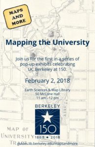
Event: Maps and More: Mapping the University
 The first event of the term in the Maps and More series is “Mapping the University,” an exhibit of campus maps celebrating UC Berkeley at 150.
Where: Earth Sciences & Map Library
50 McCone Hall
When: February 2, 2018, 11:00am – 12:00pm
Event: Maps and More Open House
Join us for the official reveal of our new study lounge, have a turn with the digital globe, and check out our displays on earthquakes and mapping chocolate production.
Friday, 12/1
11 am – 12 pm
Earth Sciences & Map Library
50 McCone Hall