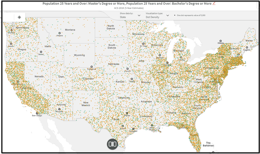
Do you need a visualization of the percentage of children in Alameda County who are eligible for free lunch? (The answer is 42.8%. As a point of comparison, it’s 21.4% in Marin.) What about the population, broken down by age, of the people in your zip code? How can I create a map of cell phone ownership of the residents of Berkeley?
Maps can be an excellent way to visualize data. And the Library subscribes to a number of resources that can help you do this. Here are three go-to map resources for US data:
- PolicyMap:includes over 15,000 US demographic and socioeconomic data indicators from the neighborhood census block to national levels. Data may be downloaded to csv.
- SimplyAnalytics: Create custom thematic maps, tables, and reports using demographic, business, and marketing data for the United States. Also known as Simply Map. (sign in as Guest or create an account)
- Social Explorer: Data and interactive thematic maps from the U.S. Census from 1790-present.
For a complete list on the library’s mapping resources check out the research guide Maps and & Air Photos created by Susan Powell, the GIS & Map Librarian.