Ever wondered who to blame for Berkeley’s infuriating roadblocks?
One answer lies in the troves of UC Berkeley’s Earth Sciences and Map Library, in a traffic management plan from 1976. The map shows intersections throughout Berkeley covered in little orange ticks — signs for where a new generation of traffic diverters would arise.
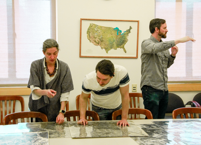
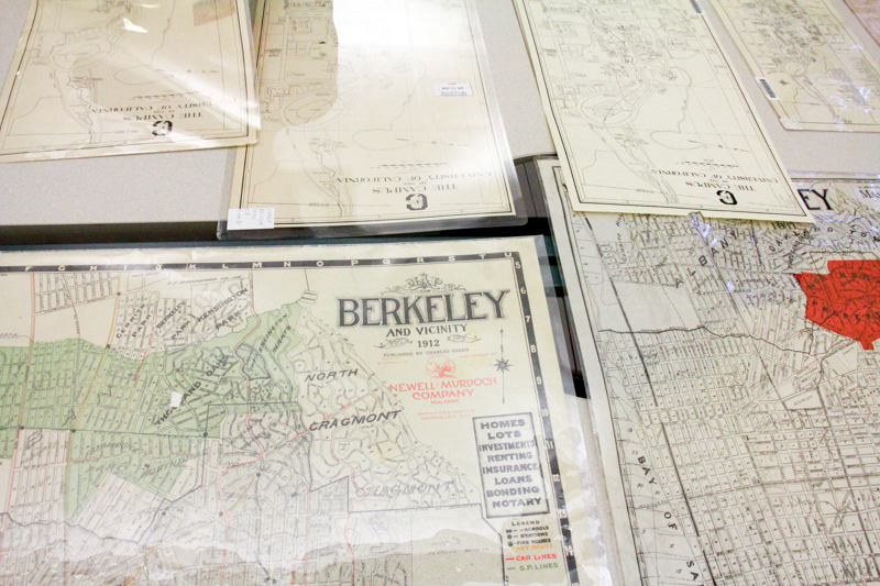
The traffic map is on display as part of a pop-up event on Friday called Mapping the University — featuring a collection of maps that, together, tell the story of how the university and city of Berkeley have developed over the years.
“I added (the traffic one) because I find these roadblocks in Berkeley very distressing, and confusing,” said Sam Teplitzky, Earth and physical sciences librarian, smiling.

Teplitzky, along with Susan Powell, geographic information systems and map librarian, put together the exhibit in celebration of UC Berkeley’s 150th anniversary. The pair dived into the Library’s collection, choosing works that could tell Berkeley’s history in the most compelling way.
The exhibit is organized chronologically and combines an eclectic group of maps, from tourist maps advertising local businesses to sweeping drawings of Strawberry Valley.
“A lot of the maps we have were for internal use, and not meant to be distributed outside,” Powell said. “We wanted to show people the different perspectives on what Berkeley looked like.”

One specific gem is a map from 1932, before the campus expanded onto Telegraph Avenue to build Sproul Plaza and its surrounding buildings. (Hazel H. King owned some property next to Dwinelle Hall; Myrtle M. Rowell probably lived where the university’s police department now stands.) Another cool piece is a black-and-white aerial photograph showing land being excavated for the underground Main Stacks during its construction in the 1990s.
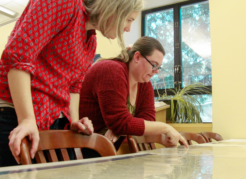
At the exhibit, visitors huddled over the collection, twisting and turning the maps in an attempt to orient themselves. Many tried to locate familiar spots, superimposing the century-old depictions with the vivid maps in their heads.
Andy Johnson, who lives in Berkeley, is a self-proclaimed “map nerd” who collects maps for fun. He said that looking at a map is like “taking a trip,” and compared the collection to a slow-motion animation.
Johnson particularly enjoyed the maps showing bird’s-eye views of the city, which showed the university and local neighborhoods, but also the ocean, flowing at Berkeley’s edge. He pointed to the ships at sea, drawn with hovering plumes of smoke, and noted how maps capture not only buildings, but activity and life.
For Johnson, they can also immortalize our hopes and ambitions.
“There were going to be centers up in the hills, which were never built,” Johnson said, referring to a map showing projected developments. “Maps show what people were planning — what they were dreaming about.”
They pop-up exhibit was part of the Library’s larger Maps and More series, which aims to highlight the breadth of the collection and inspire potential research projects among students, Teplitzky said. Next month, they’ll have a walking tour of the Hayward Fault, as well as an exhibit mapping the history of indigenous peoples in California.