The C.V. Starr East Asian Library was recently awarded $170,000 by the Council on Library and Information Resources to digitize Japanese historical maps. Approximately 1500 woodblock, copperplate, and manuscript maps produced in Japan between the 1600s and 1923 will be digitized over the next two years, and added to the existing online collection of 800 maps.
EAL director Peter Zhou commented on how the initial digital collection of these works was “very well-received by research communities on both sides of the Pacific. By opening up the rest of the collection through this CLIR grant, we will provide unfettered access to those treasured materials once and for all.”
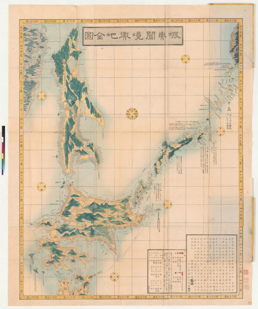
The Japanese Historical Maps website hosting the images was developed by David Rumsey and Cartography Associates. It allows researchers to explore the maps without stressing them, to enlarge details, save images to a file, add notes, and juxtapose or superimpose maps and satellite images for comparison.
These functions, coupled with the size and variety of the entire map collection, will allow researchers to use the maps to trace political, cultural, administrative, and topographical change, as well as the development of Japanese cartography, from pre-modern times into the twentieth century.

To learn more about the collection and website, see the “Mapping Out the Past” story from an EAL newsletter.
The Council on Library and Information Resources offered the grant through their Digitizing Hidden Special Collections and Archives awards program, which is generously supported by funding from The Andrew W. Mellon Foundation. The program supports the creation of digital representations of unique content of high scholarly significance that will be discoverable and usable as elements of a coherent national collection.